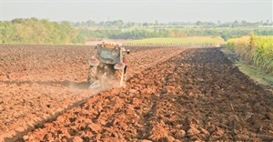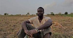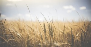
Improving agricultural productivity is one of the main ways to lift people out of poverty but without accurate data, it's difficult to identify the farmers who need help, scientists from Stanford University said. Images from new, inexpensive satellites could be used to estimate yields and test interventions in poor regions where data is scarce, they said in a paper published in the Proceedings of the National Academy of Sciences on Monday.
"Improving agricultural productivity is going to be one of the main ways to reduce hunger and improve livelihoods in poor parts of the world," said Marshall Burke, an assistant professor at Stanford's School of Earth, Energy & Environmental Sciences.
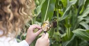
"But to improve agricultural productivity, we first have to measure it, and unfortunately this isn't done on most farms around the world," he said in a statement.
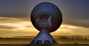
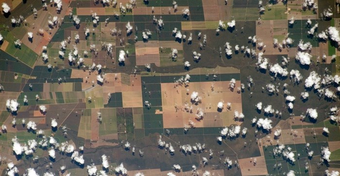
While Earth-observing satellites have been around for more than three decades, most of their images haven't been detailed enough to show the small agricultural fields common in developing countries. But with satellites becoming cheaper and offering improved image resolution, it is now possible to capture very small areas, the researchers said.
David Lobell, an associate professor at the school, said in a video that satellites which were once the size of school buses were now the size of fridges or even shoeboxes. "You can get lots of them up there, all capturing very small parts of the land surface at very high resolution," added Lobell, who co-authored the study.
"Any one satellite doesn't give you very much information, but the constellation of them actually means that you're covering most of the world at very high resolution and at very low cost.
"That's something we never really had even a few years ago."
The researchers focused on Western Kenya, where smallholders farm maize or corn on small half-acre or one-acre plots, to test if images from the new satellites were detailed enough to provide reliable estimates of crop yields.
"Just combining the imagery with computer-based crop models allows us to make surprisingly accurate predictions," Burke said.
The researchers plan to scale up their project across Sub-Saharan Africa.
Reporting by Magdalena Mis @magdalenamis1. Editing by Emma Batha.

AllAfrica is a voice of, by and about Africa - aggregating, producing and distributing 2000 news and information items daily from over 130 African news organisations and our own reporters to an African and global public. We operate from Cape Town, Dakar, Lagos, Monrovia, Nairobi and Washington DC.
Go to: http://allafrica.com/